The event is entirely urban, with Courses 1–5 crossing a main road to visit the complex housing estate to the south of the High School. This has many alley ways between blocks of housing with communal parking areas. Please take extra care as some of the alley ways are very mossy. Note the 5m contour interval.
The courses are all in urban terrain. There is no significant climb – but it isn’t flat either! Views guaranteed on every course (unless the weather closes in ☹).
Most controls will have the flag and SI unit grippled together and suspended from an obliging lamp post, tree or fence. There are a few SI units on stakes grippled to an object. Note that a few 'open area' control descriptions have the control on a lamp post on, or adjacent to, the open area.
Map
The map has been produced to the old ISSOM specification and not updated to the more recent ISSprOM 2019 spec. The main impact of this is that the numerous shrubberies and flower beds are mapped using the “old” green-black colour – these areas must not be crossed whether or not it is physically possible to do so (which varies seasonally, and randomly, according to local authority management activity). Areas mapped with the 100% green symbol are “fight” i.e. difficult to cross, just as they would be on a forest map.
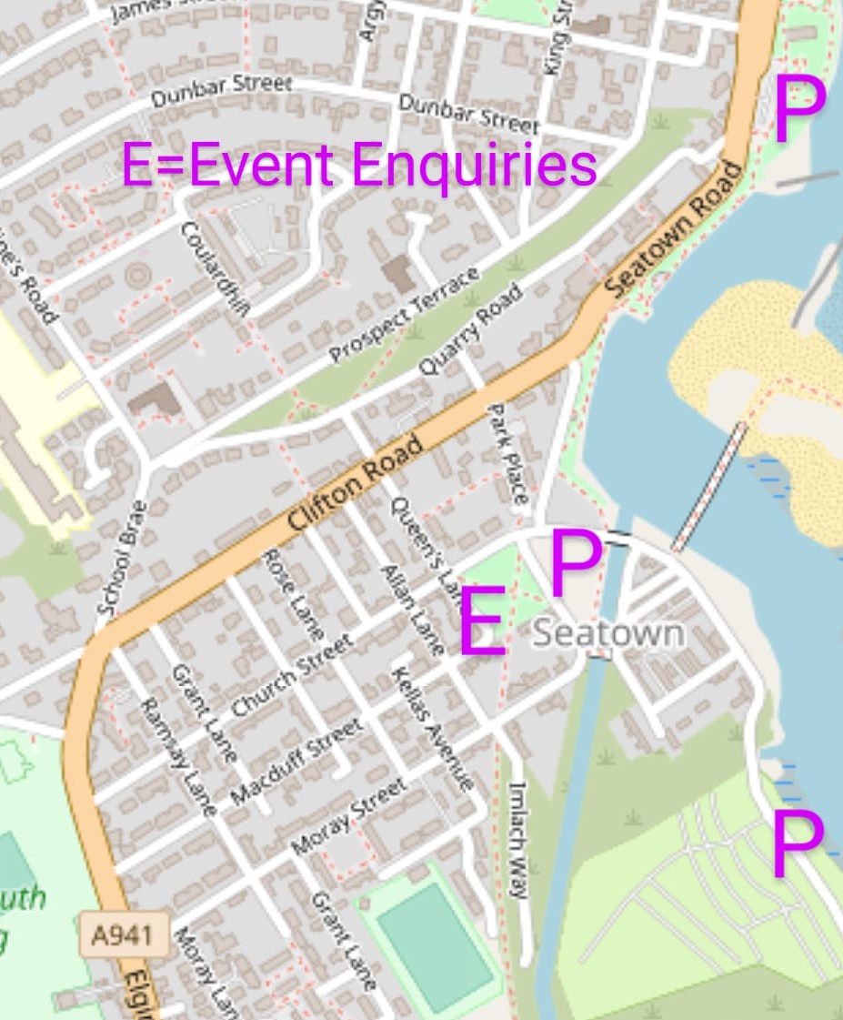
Maps do not contain a full legend. The legend only shows OOB items and the special symbol x (= play equipment).
The competition area includes numerous narrow alleyways which have been exaggerated on the map to aid readability – on the ground they are still very narrow, sometimes <1m: please be careful and avoid collisions with members of the public and other competitors.
Previous editions: The Lossiemouth town map was first used for the second Moray Mix in 2011 https://www.moravian.routegadget.co.uk/rg2/#48. The Boyd Anderson Drive estate has subsequently hosted the Euromeeting sprint in 2013 and the Scottish sprint in 2017.


